blah blah blah
Rock Rimmon Hill
Length: 1.8 miles out-and-backDifficulty (click for info): Beginner
Elevation Gain: 200 feet
Rating (click for info): 3/10
Elevation: 350'
Prominence: 165'
Driving Directions:
Trailhead is on Rockrimmon Road in Kingston, NH. From the junction of Rt. 125/107 and Rt. 111, follow Main Street for 0.8 miles. Take a right onto Spc 4 David E Bunker (a short cut-through street), go 300 feet, and continue straight onto Rockrimmon Road. Follow this for about 1.5 miles. Here, the road seems to end at a fork. The left fork is a driveway, marked as private property. The right fork is the former continuation of Rockrimmon Road. Park here, on the side of the road.
About the Hike:
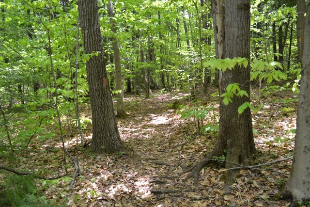
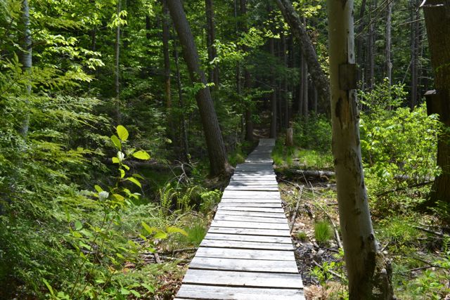
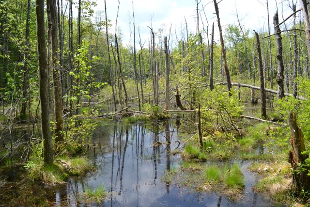
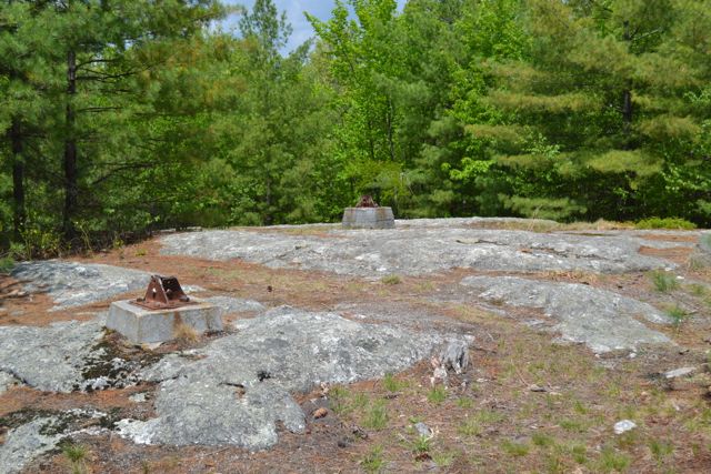
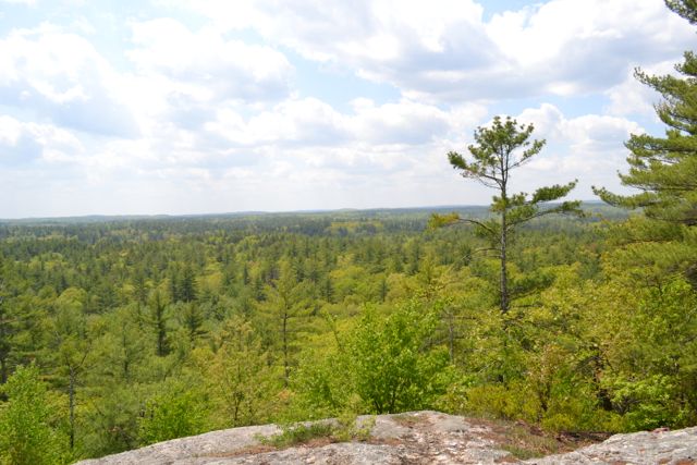
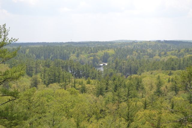
Rock Rimmon Hill was once the site of a fire tower. Its large summit ledge presents a directional view of the flat Seacoast Region. Unfortunately, the viewpoint is also littered with trash. The trail to the summit begins on a part of Rockrimmon Road that is no longer passible by ordinary vehicles, so you must walk half a mile down the road to the trailhead. Turn left onto the trail when you see a sign marked "Rock Rimmon Access Trail" (the sign will be facing away from you). The trail itself is very short, and not too steep. It is not a very obvious trail, but the bright orange blazes make navigation easier. It leads through a flat seacoast forest and over a swamp on a boardwalk before it starts to climb. The trail soon reaches the old fire tower access road. The hiking trail becomes much more difficult to follow on the other side, so you should turn left and follow the old road to the top. At the open, rocky summit of the hill is a westerly view. On the right side, you can see the old fire tower footings. No mountains are visible, since most of the Seacoast Region is fairly flat. The most notable feature of the view is Long Pond.
Printable directions page